About Elevated
Our Mission
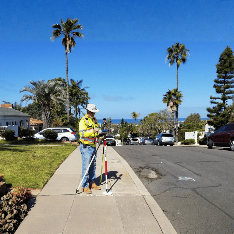
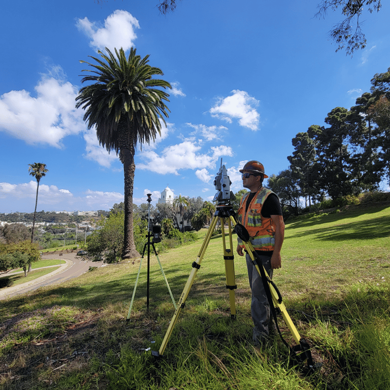
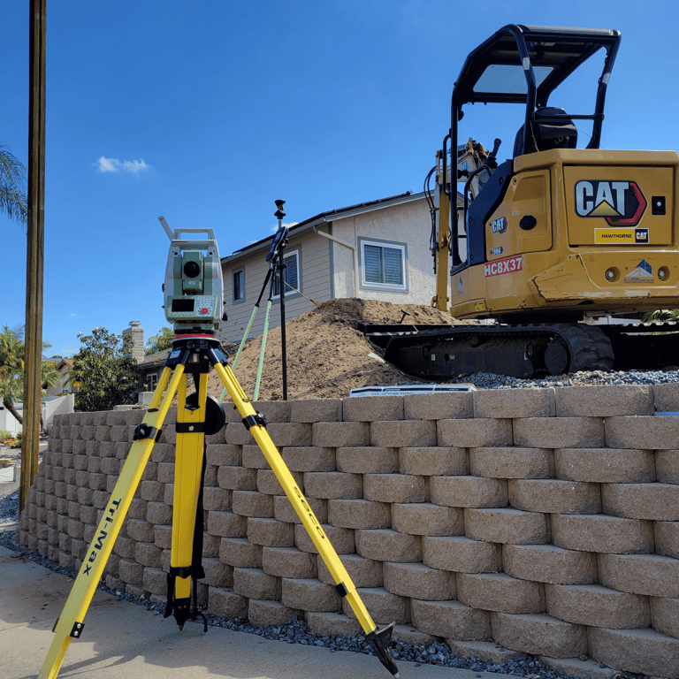
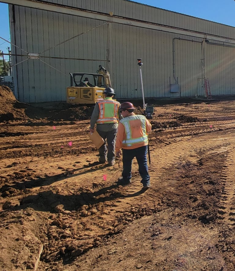
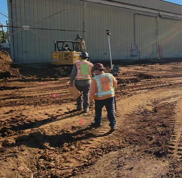
Elevated Surveying & Mapping exists to deliver precise surveying and mapping solutions with integrity, professionalism, and responsiveness. Our mission is to be a trusted partner to engineers, architects, attorneys, developers, and property owners by providing accurate data, expert guidance, and dependable service throughout every phase of a project.
PLS, RLS, is a Co-Founder of Elevated Surveying & Mapping, bringing more than two decades of land surveying, mapping, and project leadership experience throughout Arizona, California, and specifically the greater San Diego region. As a licensed Professional Land Surveyor, Colin provides strategic guidance and technical oversight for complex boundary, title, land development, utility, and construction projects, serving engineers, architects, developers, attorneys, contractors, public agencies, and private landowners. His expertise spans boundary resolution, ALTA/NSPS land title surveys, topographic mapping, easement and right-of-way preparation, utility coordination, platting, and construction support, helping clients confidently navigate entitlement, design, permitting, acquisition, and development challenges. Recognized for his responsiveness, attention to detail, and commitment to delivering defensible survey solutions, Colin has built a reputation for providing accurate data and practical insight that reduce project risk and support informed decision-making. As a California and Arizona licensed surveyor, FAA Part 107 Remote Pilot, former Vice President of the CLSA San Diego Chapter, and United States Marine Corps Veteran, Colin brings a disciplined, client-focused approach to every project, ensuring the highest standards of professionalism, precision, and service.