Our Services
Property Boundary & Property-Line Marking
Boundary monument recovery
Property-line marking
Legal descriptions and survey exhibits
Lot splits and subdivision support
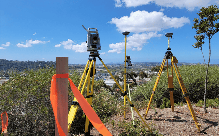
We determine and mark property lines for homeowners, architects, contractors, attorneys, and developers throughout San Diego County. Our boundary surveys support fences, additions, ADUs, easements, title matters, lot splits, subdivision planning, and boundary-related disputes with clear, defensible survey information.
Topographic Surveys & Construction Staking
Existing conditions and elevation data
Utility and tree locations
Grading and site layout
Construction staking
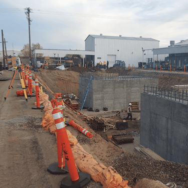
We map terrain, improvements, utilities, trees, and elevations for site planning, grading, drainage, and design. During construction, we provide accurate staking for building locations, foundations, grading, utilities, walls, and site improvements so contractors can build from reliable field control.


ALTA/NSPS Surveys & Elevation Certificates
Title and easement review
Boundary and access evidence
Encumbrance plotting
FEMA elevation certificates
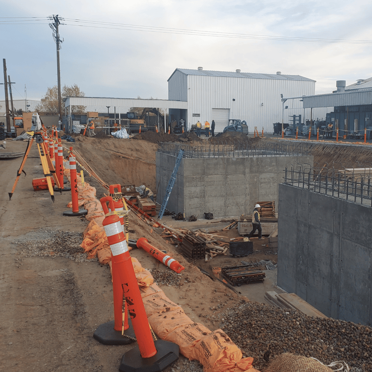
We prepare ALTA/NSPS Land Title Surveys for commercial transactions, development, financing, and due diligence. We also provide elevation certificates and supporting survey data for flood insurance, permitting, and site-planning needs, coordinated with owners, lenders, attorneys, engineers, and title professionals.